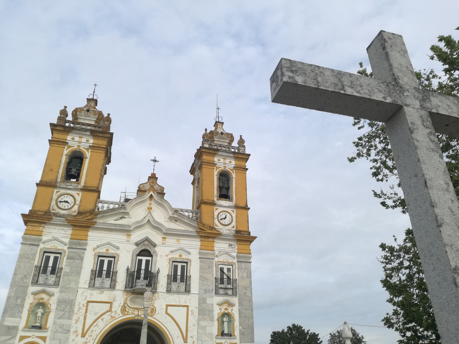
Pilgrimage Route to Nossa Senhora de Aires
Code: VNT PR1
Geographical location: Viana do Alentejo
Type: Circular walk
Main themes: Cultural Heritage, Geology, Scenery, Rurality, Pilgrimage
Distance: 9.10 km
Approximate duration: 3 to 4 hours
Type of surface: Country and city paths
Ascent/descent: 193 m
Minimum altitude: 213 m
Maximum altitude: 319 m
Level of difficulty: Medium
Certifications: Approved by the FPCM (Portuguese Camping and Mountaineering Federation)
Start and finish: Door of Viana do Alentejo Castle
Geographical coordinates: N38º19'56'' W08º00'05''
Geographical coordinates: 38.332432º -8.001528º
Where to park: Parking available in the immediate vicinity, within the built-up area.
Useful Contacts:
Viana do Alentejo Tourist OfficeTelephone: +351 266 930 012
E-mail: ddsh@cm-vianadoalentejo.pt
With similar features to the Basílica da Estrela in Lisbon, the Sanctuary of Nossa Senhora de Airea is a fine example of Rural Baroque, built on an old sixteenth-century chapel. The old routes to Santiago de Compostela used to pass this way, as did farmers taking their livestock to seasonal pastures, and the sanctuary is associated with promises that people made when seeking deliverance from an epidemic that raged in the region in the mid-eighteenth century.
The route takes you past old-growth olive orchards on the surface of abandoned quarries, once the source of the beautiful green Viana marble, as well as visiting the historical centre of Viana do Alentejo.


