Fortress and Valiant Town of Arronches
Code: ARR PR3
Geographical location: Arronches
Type: Circular walk
Main themes: Rurality
Distance: 10.7 Km
Approximate duration: 3 to 4 hours
Type of surface: Country paths and regional roads.
Ascent/descent: 242 m
Minimum altitude: 255 m
Maximum altitude: 315 m
Level of difficulty: Low
Accessibility: Suitable for the blind and wheelchair users.
Certifications: Approved by the FPCM (Portuguese Camping and Mountaineering Federation)
Start and finish: Interactive Centre for Rural Arronches
Geographical coordinates: N39º07'04'' W07º17'09''
Geographical coordinates: 39.117756º -7.285848º
Where to park: Public car park at the site
Useful Contacts:
Arronches Tourist BoardTelephone: +351 245 580 085
E-mail: turismo@cm-arronches.pt
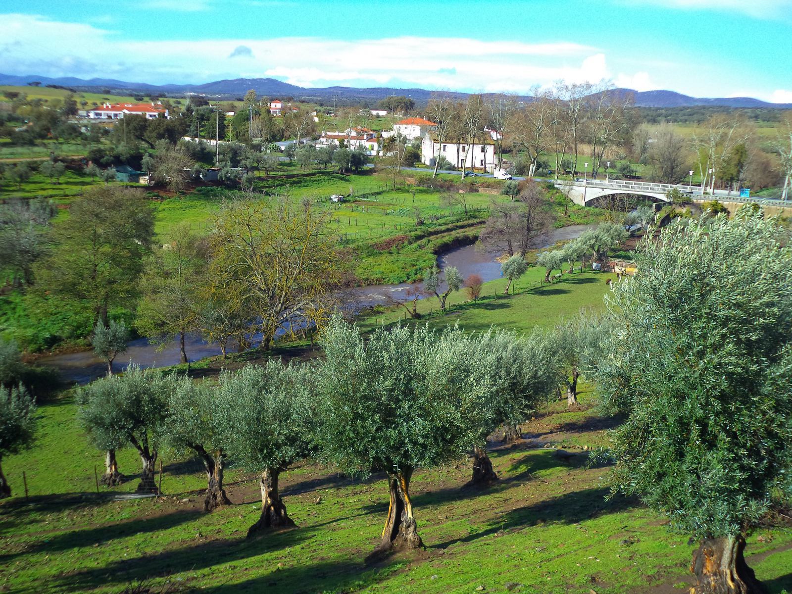
Arronches boasts a prime geographical location next to the Arronches Stream, which normally flows all year round. The São Mamede uplands are nearby, with their nature park and a vast and extremely beautiful natural and rural territory. Added to all this is a geological treasure in terms of ornamental rocks and an extensive history of human settlement dating back to the very earliest times of humankind.
This trail is suitable for virtually every kind of rambler. It is very flat and there is a good balance between natural countryside scenery and urban landscapes. The different bridges along the way take you across various water courses and there are many cultural vestiges to be seen as you go.


