Senhor dos Mártires (Lord of the Martyrs) Route
Code: ASL PR1
Geographical location: Alcácer do Sal
Type: Circular walk
Main themes: Nature, wetlands, birdlife, rice paddies
Distance: 12.6 km
Approximate duration: 3 to 4 hours
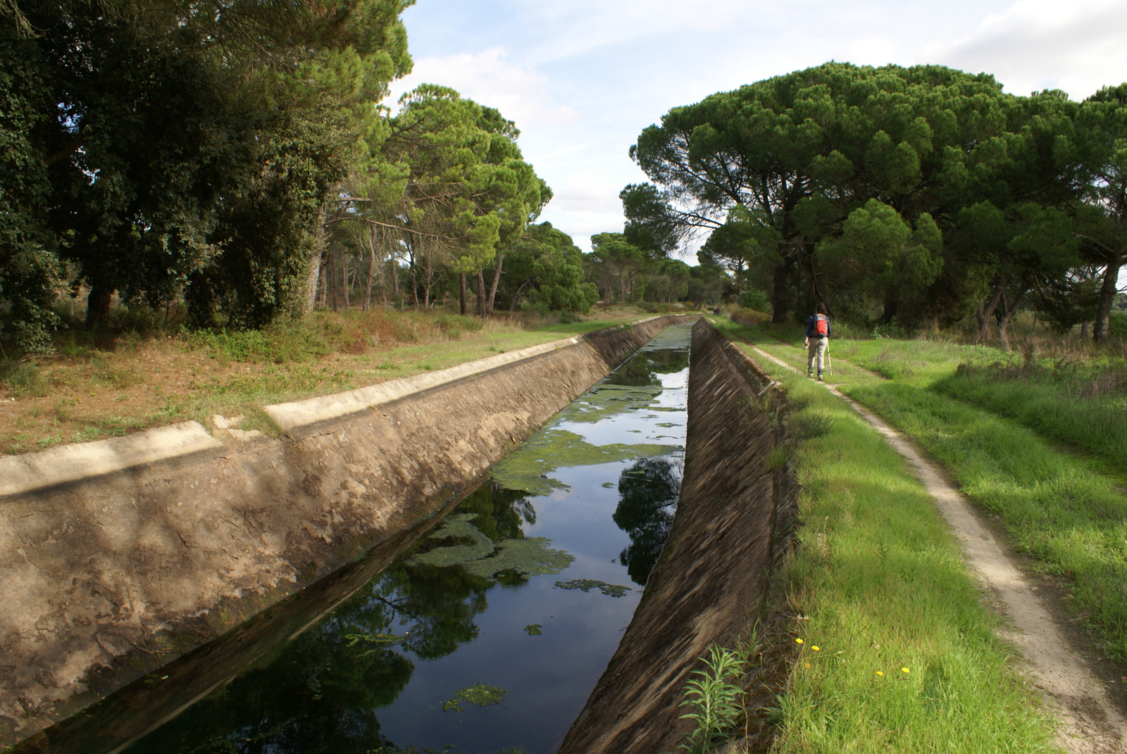
Type of surface: Country and city paths
Ascent/descent: 198 m
Minimum altitude: 3 m
Maximum altitude: 65 m
Level of difficulty: Low
Certifications: Approved by the FPCM (Portuguese Camping and Mountaineering Federation)
Start and finish: Praça Pedro Nunes, Alcácer do Sal
Geographical coordinates: N38º22'15"" W08º30'47""
Geographical coordinates: 38.370957º -8.513146º
Where to park: Public car park at the site.
Useful Contacts:
- Alcácer do Sal Tourist Office
- Telephone: +351 265 009 987
- E-mail: turismoalcacer@m-alcacerdosal.pt
Exploring Alcácer do Sal is almost like entering the Alentejo through the great Atlantic road, which is the River Sado. A splendid riverside settlement since prehistoric times, its importance grew in the Roman period, as the first port of access to the whole empire. Built in mediaeval times, the castle is one of the most important symbols of the Christian reconquest and of the installation of the order of Saint James of the Sword. The surrounding fields are today immense rice paddies; this cereal crop has made its mark on the landscape, gastronomy and the natural habitats for the fauna and flora.
Description of the trail
This is an easy trail that takes you alongside the rice paddies, little vegetable gardens and cork oak groves next to the banks of the River Sado. You will be walking along country paths and farm tracks, which are used by farm workers and the local residents.